
4.2 Compiling and Interpreting Existing Data Sets
When designing a hydraulic test, the groundwater professional should first collect and analyze a wide variety of site and regional hydrogeologic information (Figure 11). This process includes reviewing available literature, evaluating local geologic and groundwater conditions, and formulating a general water budget for the site under investigation.
The better one understands the hydrogeologic setting, the more likely a pumping test will be successful. This understanding includes:
- the sequence and extent of hydrogeologic units,
- the presence of physical and hydrogeologic boundaries,
- estimates of the hydrogeologic properties of water‑bearing units and aquitards,
- estimates of groundwater flow directions and rates,
- potential for the interconnectedness of units,
- sources, locations and rates of recharge and discharge,
- the design and yield of existing wells, and
- a groundwater budget for the area,
all of which facilitates determination of an appropriate pumping rate and duration for the test. The resulting hydrogeologic conceptual model frames the design and execution of the planned pumping test. Additional guidance on formulating a hydrogeologic conceptual model is provided by Woessner and Poeter (2020). In some settings, not all the components listed in Figure 11 are readily available. When information is limited, efforts should be focused on obtaining and analyzing topographic maps, geologic maps and cross sections, weather trends, as well as identifying locations of known water features, quantifying existing water uses, and reviewing available hydrogeologic publications related to the area of study.
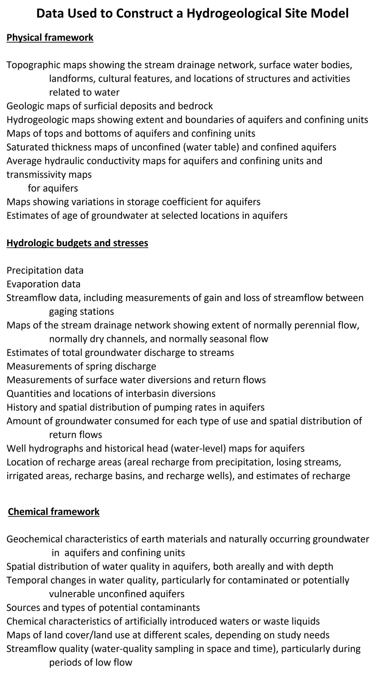
Figure 11 – Data used in building hydrogeologic conceptual models (Alley et al., 1999).
The hydrogeologic conceptual model should include both the regional setting and site‑specific conditions. This model is then used to identify the likely behavior of the unit being tested and the surrounding geologic units. Using the hydrogeologic conceptual model, the nature of the water‑bearing unit can be interpreted (e.g., confined, unconfined, leaky), the likelihood of impermeable or recharge boundaries impacting drawdowns assessed, ideal locations and construction of test and observation wells estimated, and the type of analytical tool that may best fit resulting test results proposed.